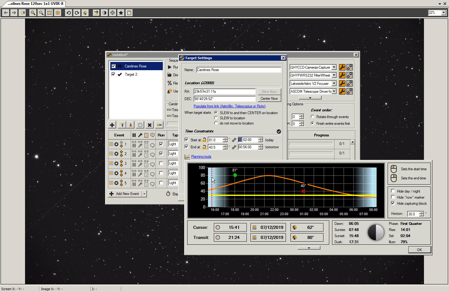
Hi - I generated a new sequence and pasted in the target coordinates from TSX. The planner showed the altitude plot and the stop and start times correctly.
I then opened an image of a completely different object, plate-solved and used the coordinates to override the target coordinates and this seem to confuse the planner graphic. The start and stop points were correctly displayed (I checked this with another sequence) but the orange line was not re-drawn.